





Lyndon Abandons Plan To Restore Sanborn Covered Bridge To River Crossing
Paul Hayes phayes@littletonrecord.com Staff Writer Apr 7, 2026 Updated 11 hours ago
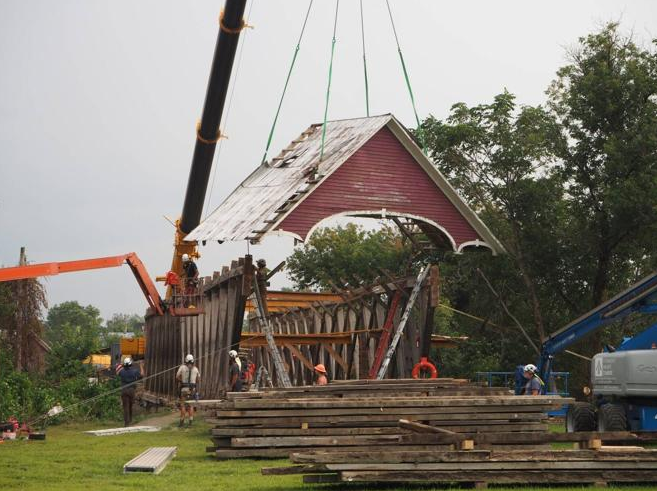
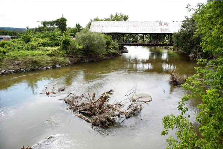
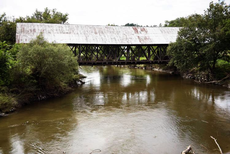
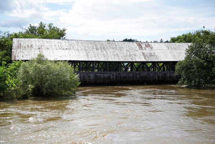

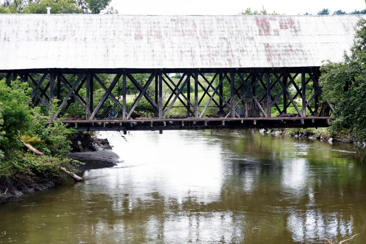
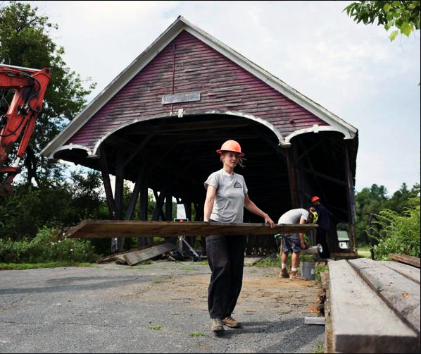
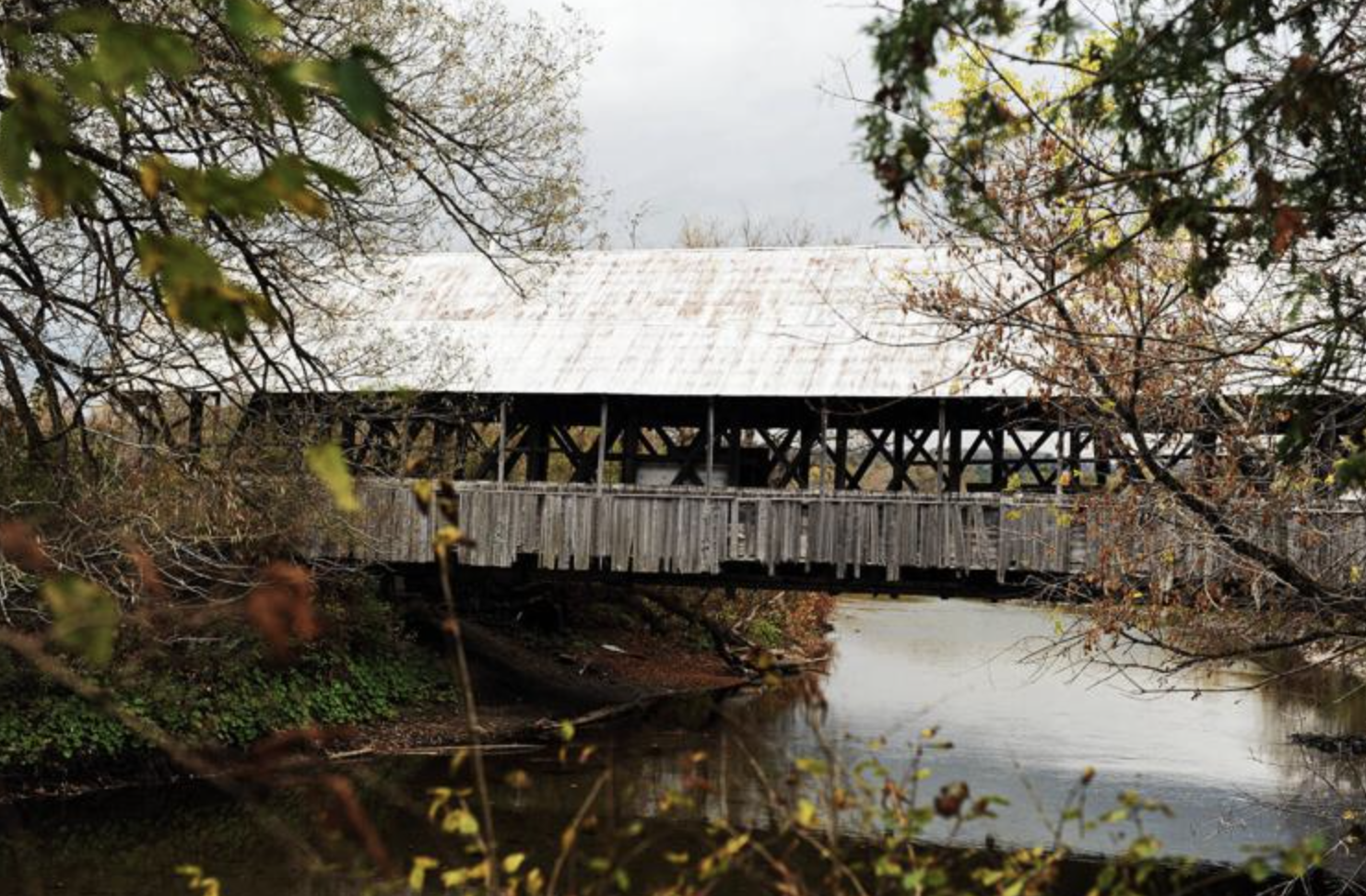

LYNDON — Plans to return the historic Sanborn Covered Bridge to its original crossing over the Passumpsic River have been abandoned, town officials said, ending a five-year effort to restore the span.
“We don’t see a viable path forward to get the easement that we want and to get through the Act 250 [state permitting] issue… we’re out of time, essentially,” said Select Board Chair Christian Thompson. “And the
backers of the project would like their funds back to be able to fund other projects that are more ready to go forward.” The decision means the bridge — dismantled and removed from the river after severe flood damage — will not be reassembled on its original abutments. Officials said the town will instead explore relocating it, potentially
to a site on land. Easement, Redesign And Regulatory Hurdles Derail Project Town officials said efforts to secure the necessary approvals, including a key easement, stretched for roughly 18 to 24 months without success. “We’ve been trying to get approvals, especially on an easement, for nearly two years,” Thompson said. “That doesn’t look like it’s going to materialize.” Without that access, officials said, the project could not proceed regardless of available funding. “Without that, we could have all the money in the world, and we can’t move forward… we can’t move forward with putting the bridge back where it was, the bridge as it was designed, the project as it was designed,” Thompson said. The easement issue arose after the project was redesigned to address flood risks. Plans to restore the 157-year-old bridge began more than two years ago but were revised following the catastrophic July 2024 flood. Using modeling data from SLR International, the town developed a new design to raise the bridge
more than four feet, rebuild its abutments and improve water flow. The redesign, requested by the town’s Hazard Mitigation Committee, aimed to improve flood resilience and public safety by increasing the opening beneath the bridge and elevating it above the 500-year flood level. Those changes required a different project footprint and additional property access, necessitating a new easement and additional regulatory review. In a Feb. 3 jurisdictional opinion, state officials ruled that reconstruction would require an Act 250 permit, finding the revised project represented a “material change” tied to development review at the former Lyn-Burke Motel property. The opinion said the bridge project could have “a significant impact” on river management plans associated with a proposed gas station and mini-mart at the site. Town officials said the redesign stemmed from concerns identified in the SLR study about the bridge’s role in restricting water flow. “We hired an engineer that led to the conclusion of the Sanborn bridge abutment being a major factor in what holds the water back at the north end of town,” Town Administrator Justin Smith said. Officials said that the finding underscored a conflict between historic preservation and public safety. “You have two worthy goals. You want to see the Sanborn bridge back over the river, but you have a science-based engineering report that says that that’s the cause of a lot of the restriction of flow of water… and you’re talking about other
properties, damage to buildings, possibly… risk to human life,” Smith said. Grants withdrawn as timelines expire At the same time, grant deadlines have forced funders to withdraw support. The town is returning a $100,000 Paul Bruhn Historic Revitalization Grant administered through the Preservation Trust of Vermont. “We’re essentially turning those funds back to them… They only have until the end of this year to use it,” Thompson said. Smith said the town had already indicated it would not meet the timeline. “We told [the Preservation Trust] that we were probably not going to be able to use these [funds] in that time frame — and they had another worthy candidate that they could pivot to for these funds,” Smith said. Because the bridge will no longer span the river, the project also no longer qualifies for a roughly $300,000 Vermont Agency of Transportation Transportation Alternatives grant, which included a $75,000 local match.
About $41,000 of that funding was spent on engineering. “We spent about 41,000 of that on engineering, which they said was an allowable use…” Smith said. Town officials said the project had secured about $2.1 million in grant funding overall, though it remains unclear how much, if any, could be applied to a redesigned project. Of that total, about $550,000 has already been spent, including emergency removal of the bridge ahead of Tropical Storm Debby in 2024 and engineering work. Officials said they do not expect to repay funds used for that work. “There’s nothing that we’ve spent that we would have to pay back,” Smith said. An additional $100,000 in American Rescue Plan Act funds remains available but must be spent by Dec. 31, 2026, under federal timelines. Flooding And Federal Recovery Slowed Progress The project was further complicated by repeated flooding and the demands of disaster response. In 2023 and 2024, three flood events were declared disasters, requiring extensive cleanup, repairs and federal reimbursement work. “The flooding definitely slowed this process down. We weren’t able to move [the Sanborn Bridge project] forward as fast as we wanted because we had other priorities that took center stage — we had major catastrophes in town,” Smith said. Smith said the combination of flooding, federal recovery requirements, the easement issue and funding constraints ultimately derailed the project. “There are several factors,” Smith said. “It’s two years of flood issues followed by the reconstruction. It’s not being able to get these things which certain of our funding sources require or else they are pulling their money. It’s timelines
for spending those funds. They all snowball into each other and lead us to where we are today.” Officials emphasized that no single issue led to the outcome. “I can’t tell you that you can point your finger at one thing and say that’s the reason for this. There’s multiple reasons,” Smith said. They also said staffing levels were not the determining factor. “Do I think that having additional staff would have gotten this project through? No. I think there are a lot of hurdles that don’t necessarily get solved by having more people,” Smith said. Town to consider new use for bridge With the river crossing plan abandoned, officials said the town will shift to considering alternative uses for the bridge, including reconstructing it on land as a pedestrian or interpretive structure. “We need to begin the discussion of pivoting from what was going to be a restored bridge over the [Passumpsic] River at that location to… what do we do now,” Thompson said. “I think it makes sense to… rehabilitate it right where it is, put it back together, and leave it on dry land and turn it into some type of… tell the history of Lyndon… but I’d like to see — I mean, again, we do need to
hear from the rest of the town,” Selectman Dan Daley said. Board members said public input will be part of the process. “As far as the options for what people would like to see happen… is it something we could send out… like, ‘Hey, we’re looking for your input’?” Selectman Kevin Horner said. Officials said timing remains a factor as remaining funds carry deadlines. “We also do need to move this along so that we can take advantage of what we have left for funds that have deadlines attached to them… There is a permitting component to this as well,” Smith said. Covered Bridge History In Lyndon Built in 1869 and moved to its current location over the Passumpsic River in 1960, the Sanborn Covered Bridge was purchased by the town in 2022 along with a two-acre parcel on the south end. It is one of just two Paddleford truss bridges in Vermont. Lyndon is often referred to as the “Covered Bridge Capital of the Northeast Kingdom,” with several historic spans still standing across the town. The Millers Run Bridge, dating to the 1800s, connects Lyndon Center and Route 122. It carries one-way traffic and includes a covered pedestrian walkway and is the last covered bridge used in the state highway system. The Randall Bridge, built in 1865 just north of Lyndonville, once carried traffic over the East Branch of the Passumpsic River. It was replaced in 1965 by a concrete bridge but remains standing for preservation. The Chamberlain Mill Bridge, built in 1881, spans Branch Brook and connects York Street and South Wheelock Road in Lyndon Corner. The School House Bridge, built in 1879, is located at the junction of U.S. Route 5 and South Wheelock Road.
Editors note: Information reprinted with permission from the Caledonian Record Publishing Company, Inc.
